 The Eurobodalla Shire Council has nearly completed a project, which maps, using GIS mapping, weeds along the coastal zone of the Shire. From this survey priorities are determined and appropriate management procedures introduced. Sea Spurge is one of the weeds, which has been identified.
The mapping project has not been completed for beaches south of Glass House rocks. However, the mapping is complete from Durras Lake in the north to Glasshouse Rocks in the south. It is anticipated that the Shire wide mapping project will be completed within two months.
Management options for the infestations include using Landcare volunteers, or professional contractors where the infestation is significant.
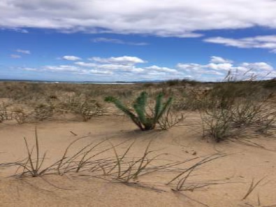
Sea Spurge has been found on most beaches in the Shire, and in many cases it is controllable by hand pulling. Members are urged to keep an eye out for this week and pull it out, and preferably place in a bag for disposal.